Monday, 8 October 2018

The Last Munro

My last Munro - Ben Lomond

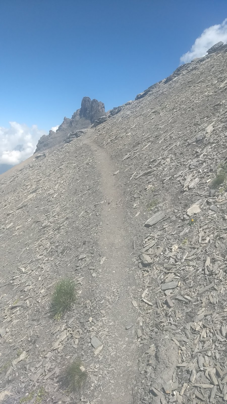
In 1976 I was working for Countrywide Holidays Association as a Kitchen Porter at Creag Mhor near Onich on the shores of Loch Linnhe. Having done my A levels, I didn't want to spend a long summer in London arguing with my parents so I'd taken this job in the Scottish Highlands with a company running walking holidays. They let the staff go on the walks on their day off so I joined the walk up Ben Nevis via the Carn Mor Dearg arete. That was my first Munro. 42 years later, I was at the top of Ben Lomond having ascended all 282.

My first Munro - Ben Nevis and the CMD Arete
I heard about the Munros and the fact that people tried to climb them all in 1988. This sounded like a great idea for a lifetime project. Could I do them all? I bought a copy of Munro's Tables (revised 1984) and ticked off the 34 that I was 100% sure I'd been up. At the time there were 277 Munros but in 1997, the Scottish Mountaineering club added eight peaks and removed one, bringing the total to 284. Because of improved surveying techniques, in 2009 Sgùrr nan Ceannaichean was found to be only 2,996 feet 10 inches high and in 2011 Beinn a' Chlaidheimh was found to be 2,998 feet 8 inches tall so they were struck off the list; bringing the total down to 282.

Celebrating on Ben Lomond
Munros are hills in Scotland with summits that are over 3000 feet above sea level. There is no strict definition of how much drop there has to be between two of them for them to qualify as separate peaks. However, Corbetts (mountains in Scotland between 2,500 and 3,000 feet above sea level) do have a strict definition. There has to be a re-ascent of at least 500 feet on all sides. "In 1992, the publication of Alan Dawson's book Relative Hills of Britain, showed that three tops not already considered summits, had a prominence of more than 500 feet (152.4 m). Given this they would have qualified as Corbett summits had they been under 3,000 feet." (Wikipedia). This forced the Scottish Mountaineering Club to revise the list of Munros so they took the opportunity to have a more sweeping review and that is why the list was revised in 1997.

The crack team ready for the final ascent. L to R - Wendy, Moya, Dorothy, Ann, Me, Liz and Gerry.

At present 6,419 people have registered their names as 'compleatists'. The list can be viewed here.  Once I have sent off my letter to the SMC my name will be added to the list. There will be many more people who have done it and don't want their names on the list of course. Before the internet existed, the names were printed in Munro's Tables. The 1984 edition lists 304 people.

Eating a slice of The Last Munro Cake with Dorothy (L) and Liz my sister (R). Thanks Moya.
'Munrobagging' is becoming increasingly popular. It has its critics. Many people say that they'd prefer to concentrate on the more interesting hills and aren't interested in their height or whether they are on someone's list. However, the list has taken me to many places I might never have had the incentive to visit and I am pleased to have done them in my lifetime.

What now? The Corbetts, The Munro Tops or another list ? I don't think so. I can go back, with Dorothy to revisit some of the best Munros that she hasn't done like Liathach in Torridon (as featured in the wonderful The Munro Show - check it out.). I can also pick out the hills I've wanted to do but de-prioritised because I was too busy Munrobagging.

Tuesday, 31 July 2018

A Grand Day Out

A couple of weeks ago I was fortunate enough to be leading walks for HF Holidays at Adelboden in Switzerland. Adelboden is in the Bernese Oberland. In the two weeks I was there I never had to put my waterproof coat on! It did rain occasionally in the evening and at night but that's fine.

There is no organised walk on a Wednesday so on 11th July I decided to go for walk on my own. I took the bus from Adelboden bus station to Unter dem Birg and went up in the cable car to the Engstligen Alp. An Alp is a high pasture and this is where the Alps get their name from. The Engstligen Alp was once a glacial lake in a hanging valley but it filled up with sediment. So it is now a wide flat area where cattle can be grazed in the Summer.

Every year the local people have the Alpaufzug, when a few hundred cows are driven up the narrow path beside one of the largest waterfalls in the Alps. This is an example of 'transhumance', a lovely word that refers to the act of moving livestock between winter and summer pastures.

As the cable car went up it went through a band of cloud and emerged into the sunshine. As I crossed the alp I could look up at the Tschingellochtighorn. It dominates the ridge between Adelboden and Kandersteg and looks like a castle.

Tschingellochtighorn across Engstligen Alp
I was heading up to the ridge above Engstligen Alp on a path denoted on the map by a red dashed line. This means it will be harder than a continuous red line which denotes a good track or footpath but easier than a dotted line which may require climbing equipment. You never quite know which end of the spectrum it will be until you get there. In this particular case there were three small snow patches to cross and some scree with a fairly sketch path on it.


Once I was up on the ridge there were some great views and the walking along the ridge was pleasant and straightforward. You can enjoy the views so much more if you aren't having to look where you put your feet down all the time.

Selfie looking back along the ridge
Looking forward along the ridge at the side view of the Tschingellochtighorn
Looking down at the Engstligen Alp
I descended across another sketchy path over scree and then down a long ridge back to the top station of the cable car.

Sketchy path over scree to long ridge below
Looking up at the Tschingellochtighorn which seems to be made of very friable shale!

Route marked in red
Top station of the cable car.
It really was a grand day out! I love leading groups in the mountains but it does makes you appreciate the contrast and the peacefulness of a day on your own.

Sunday, 4 March 2018

Walking Poles


Terminology


Lots of people are now using walking poles. Some people call them 'trekking poles' and some call them 'hiking poles'. That's fine. What isn't fine is 'sticks'. Walking sticks are different.

Oh, and while I'm on my high horse that thing you use when walking in the snow or climbing a frozen waterfall is called an ice axe and not an ice pick. An ice pick is for breaking up ice for a drink and it was also the name of the metalcore band that released 'Onward To Victory', the song used by former UFC heavyweight champion Andrei Arlovski as his entrance music for fights. [Can we get back to the poles please Pete! - Ed]

Oh yes. Alright.

Reasons for using poles


They can significantly reduce the stress on your knees and your back.

They help to improve your body posture, breathing and balance by encouraging you to walk in a more upright way. 

They can make crossing streams or scree safer.

Don't use them all the time though


Poles can be a hindrance in situations where you may need to use your hands. For example when scrambling or if you think you may need to start using an ice axe.

Jabbing the points into the ground does do quite a bit of damage and increases path erosion.

You need to practise walking without poles so that you don't become dependent on them for your balance.

"If you use poles all of the time you’ll lose the ability to balance naturally as you step up, walk over uneven ground or boulder hop. So if you are only taking a short walk with a light pack then leave the poles behind or save them for the steep descents. Youngsters need to develop this skill, called proprioception, before they walk any distance using poles." - BMC

Safety of others


You can hurt someone quite badly if you jab them with a walking pole. So please manage the sharp ends carefully. If you aren't using the poles, either attach them firmly to your rucksack, ideally with the points covered or hold them with the points facing down.

Don't swing them about behind you and be very careful getting into and out of vehicles. Experiment with different ways of securing them to your pack at home to find the most secure. If you are using loops on your rucksack designed for an ice axe try putting a couple of twists into the loop before inserting the pole.

How to use poles


When walking on flat ground, you should adjust the poles so that when the bottom of the pole is in contact with the ground your arm makes a right angle at the elbow when you grip the pole. If you are going uphill it is better if the poles are a bit shorter and it is best to make them a bit longer if you are walking downhill. However, you don't want to be faffing about altering your poles all the time. So just stick with the flat ground setting, unless you are facing a sustained uphill or downhill section.

Most poles come with a rubber bung on the end or an option to change between carbide and rubber tips. The bung or the rubber tip is better on hard ground like tarmac. Otherwise I'd recommend going with the carbide tip.

Remember that the pole is there to help you balance. "Continue to use your legs and feet to balance without becoming over-reliant on the poles. They are an additional aid, not a substitute to sound foot placements – your legs are stronger than your arms!" - UK Hillwalking

Straps


With the strap sticking out at right angles, push your hand up through the loop and grab the pole and both sides of the loop. This way, you can push down on the loop with your wrist and hand without having to tightly clutch the pole all the time.


On difficult ground it is best to take your wrists out of the loops so that you can easily jettison the poles if you trip. Otherwise as you fall, you are attached to the poles and they may get trapped between your legs or underneath you. Thus destabilizing you even further.

Walking on flat ground


Plant the right pole in the ground just to the right of your right foot as you move your left leg forward. Then repeat with the left pole as you move your right foot. This way the pole will be angled backwards all the time and you will be using your upper body to propel you forwards. Sometimes you might come to something on the ground like a big puddle or rock and it's easier to plant both poles in front of you and swing through but this isn't generally very efficient because you aren't using the poles to push you forward.

Walking uphill


Consider making the poles a bit shorter but basically use the same technique as for walking on the flat. However, sometimes you might put a pole down in front of you if there is a step up and use it as a sort of handrail. Still stick to moving the right pole when you move your left leg and vice versa.

Walking downhill


Consider making the poles a bit longer. Reach forward and plant the right pole in front of and below you. Now move your left foot forward. Reach forward and plant the left pole in front of and below you. Now move your right foot forward. Not only does the pole act as a bit of a break and a support but the act of planting the pole makes you lean forward a bit and this makes you better balanced when facing downhill.

Most people lean back a bit on a steep slope because it is intimidating and consequently if they fall, they usually fall backwards. By leaning forward and downhill a bit you are better balanced and less likely to fall backwards. People rarely fall forwards down a slope but the pole is there to support you if you do.

One pole or two?


Two poles are best as you are then well balanced. However, I frequently do use one if I am navigating and need one hand free to hold the map.

Is it wrong to not follow the above advice?

Not really. This is just supposed to be the most efficient way of doing it. Personally, I tend to only use poles when going downhill or when carrying a heavy pack and I have a bit of a tendency to plant the poles in the ground every other pace. Like most things about walking there are no rules. That's the fun of it.

Sunday, 11 February 2018

That walk was longer than you said it would be!

“I measured it on my GPS and it was 2.1 km further than you said when you described the walk beforehand.”

Yes, I’m afraid some of the measurements are not as accurate as they could be. The measurements were probably done in the old fashioned way, by tracing out the route with a bit of cotton on the map and them scaling up. The amount of ascent and descent was probably calculated by counting the number of contour lines crossed.

I’m inclined to agree that in this day and age we really should be able to provide data that arises from using satellite technology but in the meantime, does it really matter?

The main thing is to be able to compare one walk with another. If you managed to do a walk that I described as 10 km long yesterday, then you’ll probably be OK with one that I’m describing as 9 km long. Even though yesterday’s was really 12.1 km and tomorrow’s will therefore probably really be about 10.9 km.

Our experience of the environment is based on our relationship with it [Steady on Pete – isn’t that dialectical materialism? – Ed]. The statistics showing distance walked and amount of ascent and descent are only one factor. What about the terrain? It’s a lot tougher negotiating a boulder field than it is crossing a freshly mown field for example. How much are you planning to drink tonight? What about that knee that occasionally plays up? Will it play ball tomorrow?

What will your specific relationship with the environment be like tomorrow? Some people like to run ultra-marathons. Others might be botanists, who will be too busy looking at plants to walk more than a short distance. Most of us are somewhere between the two. We are on a walk partly for the exercise and challenge, partly to enjoy nature and partly to enjoy each other’s company. 

The fact is, that how hard or easy a walk is, is not an exact science. Yes, the stats could be more accurate but does having precise figures make you think that they will define the difficulty? Maybe the ball park figure is better from a psychological perspective because it encourages you to think about all the other factors.

Oh, and while you are on the walk, don’t forget to look at the trees, rocks, plants etc. You’ll get a lot more out of it and if you are enjoying the walk it might not seem so difficult.

-----oooOooo-----

The above thoughts were inspired by a conversation at La Palma, where I was leading last week for HF Holidays. It’s a beautiful island in the Canaries, lying about 450km off the coast of Africa. Whereas Fuertoventura is only about 100 km away from Morocco. The island ‘popped’ up out of the sea about 2 million years ago and consequently all life has found its way there somehow. There are still volcanic eruptions every so often.

Walking on the island is incredibly varied. Ranging from lush laurel forests to sparse volcanic landscapes. Because the wind tends the blow from the North East, that side of the island can be quite wet. The weather is usually warmer and dryer in the South East.

We didn’t get to the highest point on the island, Roque de los Muchachos which is nearly 8,000 ft above sea level! It was too cold and the roads were closed. We were a bit unlucky with the weather. We did get a few showers but we also had a lot of sunshine and it was a lot warmer and sunnier than Yorkshire is in January.

Here are some photos to give you an idea of what it was like:

Black sand at Santa Cruz

Descending into a Barranco (Ravine)

Looking down a Barranco

The lush Laurel Forest

Crossing a lava field

Pine forest growing out of Volcanic rock.

Monday, 22 January 2018

Carnach Bridge in Knoydart Closed

I crossed Carnach Bridge in Knoydart on the Cape Wrath Trail last year and it was looking pretty dodgy then so I'm glad I did the CWT before they took it away:- https://www.mountaineering.scot/news/important-knoydart-bridge-closed

This is what it looked like when I crossed:


Wednesday, 8 November 2017

Walks Leading in 2017

It's been a while since my last post because I don't want a blog full of stuff about what I did [You're kidding. It's full of that stuff! - Ed.]. I also want a bit of philosophy in there. [Oh yeah! Let's hear some then - Ed.] {Please ignore comments from the Editor - Pete}. [Grrr... - Ed.]

Since June I led walks for 2 weeks at Selva (aka Wolkenstein) in the Dolomites (Italy), Neustift in the Stubai Alps (Austria) and back at Glencoe (Scottish Highlands). The second week at Glencoe was the Munrobagging II holiday. Here are just a few of the photos I took that demonstrate what beautiful places they are.


Selva

Sassolunga

From the Seceda Cable Car Top Station

Sella Gruppe from Utia Forceles Mountain Restaurant

Sella Hut

Neustift

Below Zwolfernieder Col

Below the Hoher Burgstall

Sulzenau Glacier

Glencoe

Binnein Beag and Aonach Beag from Sgurr Eilde Mor

In October I led for a week in the Cinque Terra in Italy. We were based at Bonassola. I arrived in Pisa on the Manchester flight and whilst waiting for the London flight I had time to visit the leaning tower of Pisa.


Leaning Tower of Pisa

One of the things I have learnt from these trips is that for me, feeling part of a team is an important aspect of walks leading for HF Holidays. That is to say, working alongside the other leaders, staff and hotel management to provide a good holiday. It is easier to feel this way when you return to places you've already been. Of course, there has to be a first time, but for 2018, I have applied to lead in places where I have already led.

In a previous blog I wrote about mindfulness and linked to the NHS website where it says: "Becoming more aware of the present moment can help us enjoy the world around us more and understand ourselves better. When we become more aware of the present moment, we begin to experience afresh things that we have been taking for granted."

I have been thinking about this and I agree with it but I don't think there is anything wrong with daydreaming either. Some of my best ideas have come to me when I have been daydreaming. Either whilst walking or in the shower. Sometimes I wake up with ideas so I guess that's nightdreaming.

So my conclusion is that you need both: Mindfulness and Daydreamyness [Is that a word? Ed.] and walking in the mountains gives you opportunities to do both.


Tuesday, 4 July 2017

Munrobagging Blog

As I mentioned in my previous blog, here is the link to Sabi's article about the Munrobagging holiday I led for HF Holidays in May.